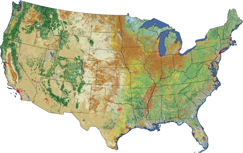
If you do chose to use land use data from the USGS that is more recent than 1992 (NLCD for 2001, 2006, and 2011), be aware that the classification schema for the newer data is slightly different. The table below show the mapping for the classification codes.
Mapping of LULC Codes Between NLCD1992 and NLCD2011
|
nlcd2011 |
nlcd92 |
|
11 |
11 |
|
12 |
12 |
|
21 |
85 |
|
22 |
21 |
|
23 |
22 |
|
24 |
23 |
|
31 |
31 |
|
41 |
41 |
|
42 |
42 |
|
43 |
43 |
|
51 |
92 |
|
52 |
51 |
|
71 |
71 |
|
72 |
92 |
|
73 |
92 |
|
74 |
92 |
|
81 |
81 |
|
82 |
82 |
|
90 |
92 |
|
95 |
92 |
Once you have corresponding land use codes, you would apply the surface characteristic values that are associated with the NLCD92.